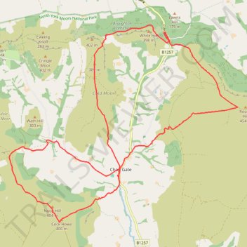
Chop Gate Double Mountain Biking Loop
- Distance: 24.0 Km
- Elevation gain: 779 m
- Maximum elevation: 445 m
- Elevation loss: 779 m
- Minimum elevation: 158 m
- Moving time: 2 h 45 m
- Moving speed: 8.7 Km/h
- Maximum speed: 56.3 Km/h
- Total time: 3 h 12 m
- Global speed: 7.5 Km/h
Interactive trail map
Trail profile
- Distance: 24.0 Km
- Elevation gain: 779 m
- Maximum elevation: 445 m
- Elevation loss: 779 m
- Minimum elevation: 158 m
- Moving time: 2 h 45 m
- Moving speed: 8.7 Km/h
- Maximum speed: 56.3 Km/h
- Total time: 3 h 12 m
- Global speed: 7.5 Km/h
About this trail
Name: Chop Gate Double Mountain Biking Loop trail, distance, elevation, map, profile, GPS track
Coordinates: 54.37712 -1.18880 54.42715 -1.08922