
Tracked with OSMTracker for Android™
Laguna / Lake Pointe
- Distance: 4.9 Km
- Elevation gain: 39 m
- Maximum elevation: 128 m
- Elevation loss: 44 m
- Minimum elevation: 108 m
- Moving time: 12 m 10 s
- Moving speed: 24.3 Km/h
- Maximum speed: 72.2 Km/h
- Total time: 12 m 10 s
- Global speed: 24.3 Km/h
Interactive trail map
Trail profile
- Distance: 4.9 Km
- Elevation gain: 39 m
- Maximum elevation: 128 m
- Elevation loss: 44 m
- Minimum elevation: 108 m
- Moving time: 12 m 10 s
- Moving speed: 24.3 Km/h
- Maximum speed: 72.2 Km/h
- Total time: 12 m 10 s
- Global speed: 24.3 Km/h
About this trail
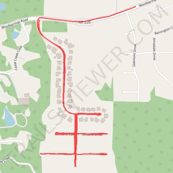
Name: Tracked with OSMTracker for Android™ trail, distance, elevation, map, profile, GPS track
End: Jonesboro, Craighead County, Arkansas, United States (35.80364 -90.76299)
Coordinates: 35.79635 -90.76310 35.80431 -90.75706