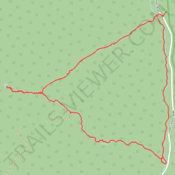
CC Spring Loop from Lovell Canyon
- Distance: 7.3 Km
- Elevation gain: 218 m
- Maximum elevation: 1,886 m
- Elevation loss: 221 m
- Minimum elevation: 1,675 m
- Moving time: 1 h 49 m
- Moving speed: 4.0 Km/h
- Maximum speed: 5.9 Km/h
- Total time: 1 h 55 m
- Global speed: 3.8 Km/h
Interactive trail map
Trail profile
- Distance: 7.3 Km
- Elevation gain: 218 m
- Maximum elevation: 1,886 m
- Elevation loss: 221 m
- Minimum elevation: 1,675 m
- Moving time: 1 h 49 m
- Moving speed: 4.0 Km/h
- Maximum speed: 5.9 Km/h
- Total time: 1 h 55 m
- Global speed: 3.8 Km/h
About this trail
Name: CC Spring Loop from Lovell Canyon trail, distance, elevation, map, profile, GPS track
Start: Lovell Canyon Road, Clark County, Nevada, United States (36.15068 -115.57063)
End: Lovell Canyon Road, Clark County, Nevada, United States (36.15023 -115.57102)
Coordinates: 36.13399 -115.59230 36.15068 -115.57037