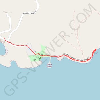
Area Recreativa Playita Rosada
- Distance: 1.2 Km
- Elevation gain: 11 m
- Maximum elevation: 13 m
- Elevation loss: 14 m
- Minimum elevation: 2 m
- Moving time: 17 m 33 s
- Moving speed: 4.0 Km/h
- Maximum speed: 29.8 Km/h
- Total time: 20 m 37 s
- Global speed: 3.4 Km/h
Interactive trail map
Trail profile
- Distance: 1.2 Km
- Elevation gain: 11 m
- Maximum elevation: 13 m
- Elevation loss: 14 m
- Minimum elevation: 2 m
- Moving time: 17 m 33 s
- Moving speed: 4.0 Km/h
- Maximum speed: 29.8 Km/h
- Total time: 20 m 37 s
- Global speed: 3.4 Km/h
About this trail
Name: Area Recreativa Playita Rosada trail, distance, elevation, map, profile, GPS track
Coordinates: 17.97181 -67.03452 17.97333 -67.02840