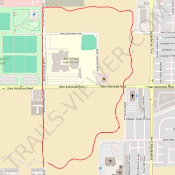
New James Brown walking path Eastside
- Distance: 3.6 Km
- Elevation gain: 25 m
- Maximum elevation: 815 m
- Elevation loss: 24 m
- Minimum elevation: 792 m
- Moving time: 42 m 37 s
- Moving speed: 5.1 Km/h
- Maximum speed: 9.4 Km/h
- Total time: 43 m 41 s
- Global speed: 4.9 Km/h
Interactive trail map
Trail profile
- Distance: 3.6 Km
- Elevation gain: 25 m
- Maximum elevation: 815 m
- Elevation loss: 24 m
- Minimum elevation: 792 m
- Moving time: 42 m 37 s
- Moving speed: 5.1 Km/h
- Maximum speed: 9.4 Km/h
- Total time: 43 m 41 s
- Global speed: 4.9 Km/h
About this trail
Name: New James Brown walking path Eastside trail, distance, elevation, map, profile, GPS track
Start: South Cimarron Road, Clark County, Nevada, 89113, United States (36.04310 -115.26979)
End: South Cimarron Road, Clark County, Nevada, 89113, United States (36.04281 -115.27014)
Coordinates: 36.04273 -115.27031 36.05374 -115.26264